
Los Gatos ZIP Code Coverage at a Glance
The core Los Gatos postal-code set has four different geographic stories. 95030 covers the central and northwest town area. 95031 appears as a Los Gatos postal companion designation that needs exact USPS verification. 95032 reaches east and northeast toward Campbell and San Jose. 95033 uses Los Gatos as a mailing city across mountain and rural communities, much of which is outside Town limits. The table describes the research use of each ZIP without treating postal service as municipal proof.
| ZIP | Areas served | Postal verification | Local record note |
|---|---|---|---|
| 95030 | Central and northwest Los Gatos, downtown, nearby incorporated neighborhoods | USPS ZIP Lookup | Town-core ZIP; verify the full address |
| 95031 | Los Gatos postal companion designation in local data | USPS exact-address check | Current use needs live verification |
| 95032 | Eastern and northeastern Los Gatos toward Campbell and San Jose | USPS ZIP Lookup | Postal Los Gatos does not prove incorporation |
| 95033 | Santa Cruz Mountains and rural or unincorporated communities | USPS ZIP Lookup | County services and districts are common |
A postal directory should state whether it is describing delivery, a town boundary, a county service area, or a historic community. Those denominators do not match. When a person or parcel matters, move from ZIP to full address and APN.
Verify a Los Gatos ZIP Code at USPS
The USPS ZIP Code Lookup is the authoritative first check for a delivery address. Enter the street, city, and state or use the full address mode. Keep the returned code with the exact address, unit, and date checked. A city label alone is too broad for a Los Gatos postal directory because one postal city can cover several jurisdictions.
The USPS screen is useful for confirming the delivery side of the record.
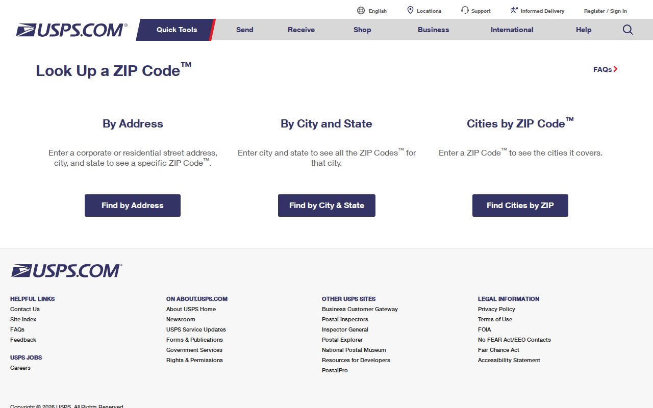
After USPS confirms the postal code, use GIS or the assessor to decide whether the situs is in the incorporated Town, an urban island, or a mountain county area.
Note: A postal ZIP is a delivery key, not a resident count, ownership record, or municipal boundary.
Find Los Gatos Records ZIP by ZIP
A postal-directory search becomes reproducible when the ZIP is used as a filter in the right record system. The research did not identify an official local portal that produces a complete person or property list solely by ZIP. The Assessor’s advanced search offers City but no ZIP field. The voter-file route is restricted. Use a ZIP to organize addresses or names you already have, not to promise a complete list of Los Gatos residents.
- Verify the full delivery address and ZIP through USPS.
- Run the address in the Assessor’s Simple or Advanced Address Search and save the APN.
- Use County or Town GIS layers to check parcel geometry and jurisdiction.
- For a person, select the custodian that matches the question, such as court, license, business, or vital records.
- Once a ZIP narrows the search to a street, continue with the Los Gatos by-street record chain.
That order prevents a ZIP from carrying more meaning than it has. It also preserves a fallback when a portal does not support postal filtering at all.
ZIP Code Boundaries and Los Gatos Town Limits
Postal boundaries and the Los Gatos city line answer different questions. A 95033 mailing address can sit in unincorporated Santa Clara County or the Santa Cruz Mountains while still using Los Gatos as its postal city. A 95032 address can carry a Los Gatos label near another city’s services. The Assessor’s City and tax-rate fields, along with GIS jurisdiction layers, are stronger evidence of incorporation than the mailing line.
Record geography should be stated each time. A Town permit, county permit, school connection, fire district, postal city, and historic neighborhood can overlap without being the same place. For an old address, compare a directory, Sanborn sheet, subdivision plat, APN, and deed before assigning today’s ZIP.
Boundary check. Use USPS for delivery geography and County or Town GIS for jurisdiction. Do not turn a Los Gatos postal city into an automatic claim of incorporated Town residence.
Why the Assessor Cannot List a Whole ZIP
The Santa Clara Assessor Real Property Search is address and APN based. Its Advanced Address form lets a researcher select City, but the inspected form exposes no ZIP field. It can return situs, mailing address, APN, transfer reference, assessed values, exemptions, tax-rate area, and taxing districts for a parcel. It does not create a ZIP-wide list of owners or occupants.
| Property address | Simple search; enter the physical situs address. |
|---|---|
| Street number | Advanced search; numeric house number. |
| Street direction | Optional directional prefix dropdown. |
| Street name | Required advanced field without the street type. |
| Street type | Optional suffix selection. |
| Unit | Optional suite or unit field. |
| City | Required advanced selection; ZIP is not exposed. |
| APN | Eight digits, with or without dashes, in APN mode. |
| Terms acceptance | Required checkbox before the search executes. |
The field gap is itself useful research information. It tells a postal directory to stop promising a portal feature that the public form does not provide.
Note: When a ZIP filter is absent, build the address set from known records and verify each parcel separately.
95033 and the Mountain Los Gatos Mailing City
95033 is the strongest geography lesson in the Los Gatos postal directory. The postal label spans Santa Cruz Mountain and rural or unincorporated communities. A mountain parcel may use a private road, a rural route, changing situs conventions, a metes-and-bounds legal description, and county rather than Town permit channels. It can be socially identified with Los Gatos while its municipal records sit elsewhere.
Use the full address, APN, legal description, road jurisdiction, and GIS layers together. A ZIP can narrow a family-history or parcel search, but the custodian tells you which record series applies. The same caution reaches 95032, where the mailing area extends toward Campbell and San Jose. A postal directory is strongest when it names the geography it is actually measuring.
Mountain roads also make address normalization more important. A private-road name, rural number, or older metes-and-bounds description may not match the current postal string. Preserve both versions, then use the APN or legal description to test whether they describe the same land. The research did not verify a comprehensive ZIP realignment date or a universal street-number conversion, so an apparent mismatch should be resolved with USPS, GIS, Planning, or the Recorder rather than a guessed history.
Los Gatos Annexation Changed the Record Map
On June 18, 2019, the Town voted to annex 24 of 30 county urban islands, totaling 308 residential parcels and roughly 116 acres. These pockets sat inside or were substantially surrounded by the Town, often after 1950s and 1960s development. Annexation changed municipal jurisdiction, road maintenance, and police service, but it did not necessarily change school, fire, assessment, or every historic record custodian.
The official annexation account gives a useful map context for a postal search.
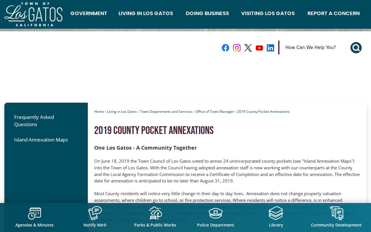
Compare the annexation date with a permit, police, or planning record before deciding which office should answer a historical address question.
Note: A present Town boundary does not rewrite the custodian or jurisdiction printed on an older record.
Keep ZIP, APN, and Situs Separate
A ZIP is a postal delivery geography. An APN is a tax-parcel key. A situs is the physical assessment address. A mailing address is where assessment notices go. A legal description identifies the land through a subdivision lot or metes-and-bounds language. One parcel can have multiple situs addresses, and its mailing destination can be outside Los Gatos.
- ZIP+4
- An extended delivery code that refines a postal route, not a municipal boundary.
- PO-box ZIP
- A postal designation for delivery to boxes or a facility, which may not map to a normal street footprint.
- Carrier route
- A delivery sequence within postal geography, not a list of residents.
- APN
- The assessor’s parcel number used to join the assessment result to GIS and deeds.
- Situs
- The physical place named by the property record.
Using the terms precisely makes a ZIP code directory useful to both current searches and older address research. It also explains why a mailing city can appear in a record without proving the person, parcel, or service district belongs to incorporated Los Gatos.
Finish a Los Gatos ZIP Code Directory Search
Once USPS has verified the ZIP, move to the source that can answer the real question. For a parcel, save the APN and compare GIS, Assessor, deed, and permit records. For a person, use the court, vital, license, business, probate, or authenticated voter route that fits the question. For a past household, use the library’s reverse directories, census, newspapers, and Sanborn maps.
The result should state whether the connection is postal, municipal, parcel-based, historical, or personal. That single sentence prevents a ZIP from becoming a false resident count. It also leaves a clear next step when the address crosses a town, county, or mountain boundary.
For a ZIP code directory entry, retain the full address checked, the date of the USPS result, the jurisdiction layer used, and the custodian that supplied the person or parcel fact. That small audit trail matters when postal data, annexation history, and assessment geography do not line up.
Note: A ZIP narrows geography; the record custodian supplies the evidence.